Set New Sea-level
This tool sets a new sea level by shifting vertically the elevation values. The only parameter is the amount of vertical shift, which determines (in m) how much the sea level will rise or fall. If the value entered here is positive, the sea level will rise, reducing the topography and deepening the bathymetry. Conversely, if the value is negative, the sea level will sink, making the topography higher and the bathymetry shallower.
Step by step
-
Click on the icon

In the field How would you like to process the input DEM, choose Set new sea level.
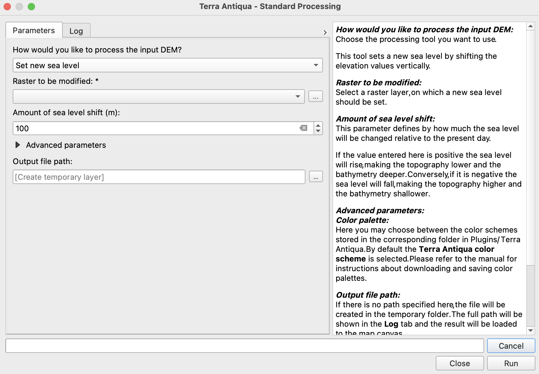
In Raster to be modified, choose the DEM you want to change the sea level from.
-
Enter the amount of sea level shift (in m).
Choose the Output file path, and click Run.